- cross-posted to:
- technology@lemmy.world
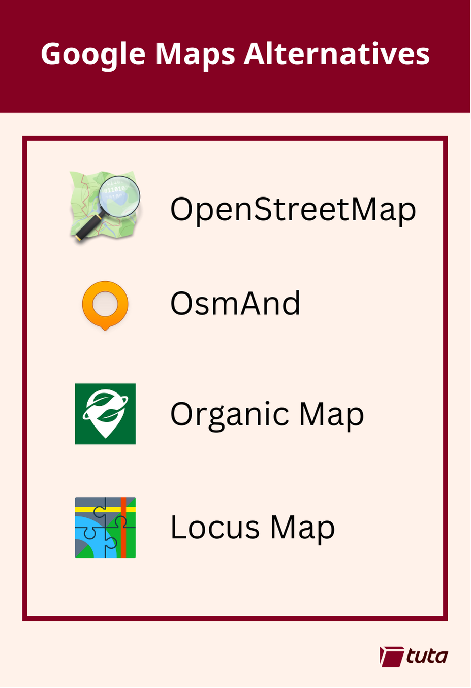
repeated media reports of Google’s disregard for the privacy of the general public led to a push for open source, community driven alternatives to Google Maps. The biggest contender, now used by Google’s direct competitors and open source projects alike is OpenStreetMap.
OsmAnd is a fantastic choice when searching for an alternative to Google Maps. It is available on both Android and iOS devices with both free and paid subscription options. Free accounts have full access to maps and navigation features, but choosing a paid subscription will allow you unlimited map downloads and increases the frequency of updates.
All subscriptions can take advantage of turn-by-turn navigation, route planning, map markers, and all the favorite features you expect from a map and navigation app in 2024. By making the jump to a paid subscription you get some extra features like topo maps, nautical depths, and even point-of-interest data imported from Wikipedia.
Organic Maps is a great choice primarily because they offer support for all features of their iOS and Android apps completely offline. This means if you have an old phone laying around, you can install the app, download the maps you need and presto! You now have an indepth digital map in the palm of your hand without needing to worry about losing or damaging your primary mobile device when exploring the outdoors.
Organic Maps tugs our heartstrings by their commitment to privacy. The app can run entirely without a network connection and comes with no ads, tracking, data collection, and best of all no registration.
Our third, and last recommendation today is Locus Maps. Locus Maps is built by outdoor enthusiasts for the same community. Hiking, biking, and geocaching are all mainstays of the Locus App, alongside standard street map navigation as well.
Locus is available in its complete version for Android, and an early version is available for iOS which is continuing to be worked on. Locus Maps offers navigation, tracking and routes, and also information on points-of-interest you might visit or stumble upon during your adventures.
deleted by creator
I’d never been a fan of apple maps, just because it lags behind real world too much.
I’ve missed a lot of turns because they seem way further on the screen. Especially when using CarPlay.
I’ve been very satisfied by OSM map apps (mostly use Organic Maps) but my main issue is the lack of places and that’s why I use Google Maps mostly.
Edit: actually found https://mapcomplete.osm.be/ which aims to kinda do that? though I’m not having much luck with it yet.
I uninstalled OSM fast after it drove me to the second closed location
Just remember that these community efforts are only maintained by the community. If the data is inaccurate then the area needs more help.
As Darth Vader said, you have to be the change you want to see in the world.
Honestly I’d sooner try to fundraise and find a way to hire a person to actually do the job way before I’m going to start taking 5 minutes at every single trip to fill out information. The idea of community made data sets like this is very utopic and nice, but if you ask me it’s asking a lot. After all, everybody can edit Wikipedia to make it a better place too, but everybody knows there’s only a handful of dedicated Wikipedia gurus.
StreetComplete is another good app for adding details to the map, and it lets you select the type of things you want to add 👍
Just use Apple Maps. Jeez
Hard to do on an Android phone.
I thought the point was to avoid tracking. If you are on android you already lost that battle.
If you think Apple doesn’t track you, I’ve got a bridge to sell you.
Any proof or just speculation?
https://m.youtube.com/watch?v=r38Epj6ldKU
His sources are in the description.
If your goal is privacy/avoid tracking then you should be using GrapheneOS
The biggest drawback is not being able to project on my car’s display. Organic maps is great but man i need the extra display.
I’ve had no problems with Organic Maps and carplay?
Is that a question?
Yes?
Maybe you are using android or theres some other reason your car doesn’t display it, but if Im remembering correctly, Organic Maps works with carplay.
Android user. Google doesn’t show it as an option. At least not one I’m aware of.
Organic Maps and OsmAnd both have Android Auto support.
I fucking love y’all. I had to add it through the play store. F droid didn’t allow for some reason. Or Google play’s chockhold
Get OSMand~ from fdroid so you don’t have to pay for the fully featured version on Google Play
Fdroid reports some seriously sus anti features, although I know it can be over dramatic. Anything to be worried about?
It’s the same app as what’s on the Play Store and if you’re worried there’s always…
https://github.com/osmandapp/Osmand
Tada!
For the cyclists here I just want to mention cycle.travel, which is hands down the best route planner I’ve ever used for nice bike rides which are direct but avoid nasty roads. It doesn’t have an app (that I’m aware of) but you can use the website to generate a gpx track which you can import into OsmAnd and use to navigate offline.
In case you haven’t already seen it, MapComplete has a cycling layer that lets you add details to the map. The data is added to OpenStreetMap, so it benefits everyone too 🙂
If you appreciate OpenStreetMaps then check out StreetComplete. Its “like” Pokemon Go but for improving maps.
Someone else in the thread recommended mapscomplete, which seems to have a bunch of topics, with pre arranged written questions when adding an item. I assume streetcomplete does something similar? And if I were to use open street map directly I assume I wouldn’t get these questions and it would instead be all mamual?
Street Complete has a map with an overlay that looks kind of like the Pokemon Go map, but it has lots of different icons where it needs more data. Tapping an icon will give you a question based on the icon type, and will be something like ‘what is the road surface here’, or what is the number of this building '.
It’s pretty easy to use, and if you don’t know the answer, or are not confident about answering it, you don’t have to.
Like you say, with OpenStreetMap itself, you don’t get questions and you add things directly to the map manually. It can sound complicated, but you can do anything from adding a single node (a dot) and marking it as the tree in the town square, to drawing a box and labeling it as a building, all the way up to adding bus routes and power lines, like one person on the Discord is doing around Wales at the moment.
As long as the thing actually exists on the ground, you can add it to OSM, and you can do as much or as little as you like. Any detail is better than no detail 👍
I’m definitely on board with participating. It’s a bit bare around where I live, so I’d be nice to contribute to future users. I’ve already added a couple of bins and public toilets I know of!
I’m just wondering about potentially temporal data. I know everything will change eventually, but I’d feel responsible to keep info such as timetable data up to date. I wouldn’t want someone missing their bus because I gave the times as they were couple of months ago. Do you know how this is dealt with in the community?
I’m not sure about things like changing timetables. I know that a lot of places have published timetables that can be added to OSM, but I don’t know if they can be automatically updated or if they would have to be done manually.
Do any of them have public transport directions?
this is great but i’d also recommend contributing and editing your local area in openstreetmap.org too.
In trying to find privacy-oriented map software, I found OsmAnd as well as OrganicMaps and shortly thereafter began contributing to openstreetmap. It’s actually quite easy and IMO fun to find discrepancies and use your knowledge to help an open data set.
Not only have I seen my edits show up in proprietary softwares, but the area around me is more accurate, to the point where recent construction to the road network was updated on OSM and Apple Maps, but not Google maps.
I just checked and Google maps is still out of date.
Been using osmand unfortunatly it doesnt have numbers on streets and can’t plan public transport.
Alternatives to Google Maps aren’t great. The only place where I find Organic Maps better is China, since the authorities have stunted GM there.
For driving in Europe I find TomTom better (whereas both Apple Maps and Google Maps are better in the US), but in terms of POI Google reigns supreme.
The house numbers is due to map data being incomplete. You can help with that by adding data with an app called street complete its free and on playstore. We need more people adding data to osm or it will never get better
Ive been adding with some app i found on fdroid but i feel my efforts are just a very tiny drop in a very very large bucket.
If you add your area like I added mine then its definitely helping
Everything that exists in OpenStreetMap is from tiny drops
There were problems like these ten years ago in Europe, but nowadays it works very well. W
But I really like satellite view.
In OSMAnd you can make a map with aerial tiles from bing. You have to configure the map view yourself but it is doable.
Edit: Enable Online maps plugin. Then enable Microsoft Earth as a base or overlay map.
Locus maps seemed interesting to me. I was surprised it was not available on F-droid. I found it on the Aurora store though. Contains ads and 4 trackers (google and facebook). Google play services is a dependency.
I’ll stick with osmand.
Organic Maps tugs our heartstrings by their commitment to privacy. The app can run entirely without a network connection and comes with no ads, tracking, data collection, and best of all no registration.
In my experience this applies to OsmAnd too. Please correct me if I’m mistaken though.
OsmAnd has the full app on F-Droid.
Locus Map is not FOSS, and OsmAnd works great for hiking, biking, etc, soooo…
Quality is more important than features.